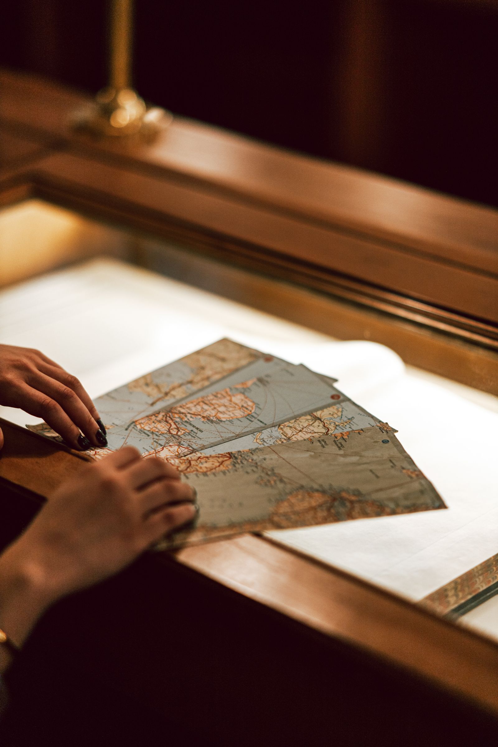
There is a huge part of our history, and we have a whole room for it. The Map Room’s Western collection follows the expeditions that first mapped the Rockies — not as a single heroic trek, but as decades of survey parties, railroad scouts and field artists arguing over every pass.
The journals disagree with each other
That is the joy of it. One surveyor calls a valley “impassable”; his assistant’s diary, shelved two boxes away, describes picking berries there the same afternoon. Our librarians love seating students with both volumes open at once — history stops looking like a monument and starts looking like weather.
“The mountains were not discovered. They were described, badly, by many people, until the descriptions agreed.” — Map Room reading guide
What to ask for at the desk
- The 1874 Hayden survey atlas — hand-colored, and larger than our reading tables.
- Field artist sketches from the Wheeler expedition, digitised last spring.
- Railroad timetables that show how fast “wilderness” became a weekend trip.
See it this season
Selected expedition photographs hang in the Floor 2 gallery through March, and our Archives Open Day brings the original journals out of the vault. Researchers can also book one-to-one help tracing routes, names and land claims.
Keep reading: Deconstructing History: Things You Didn’t Know · Research Consultation with a History Professor